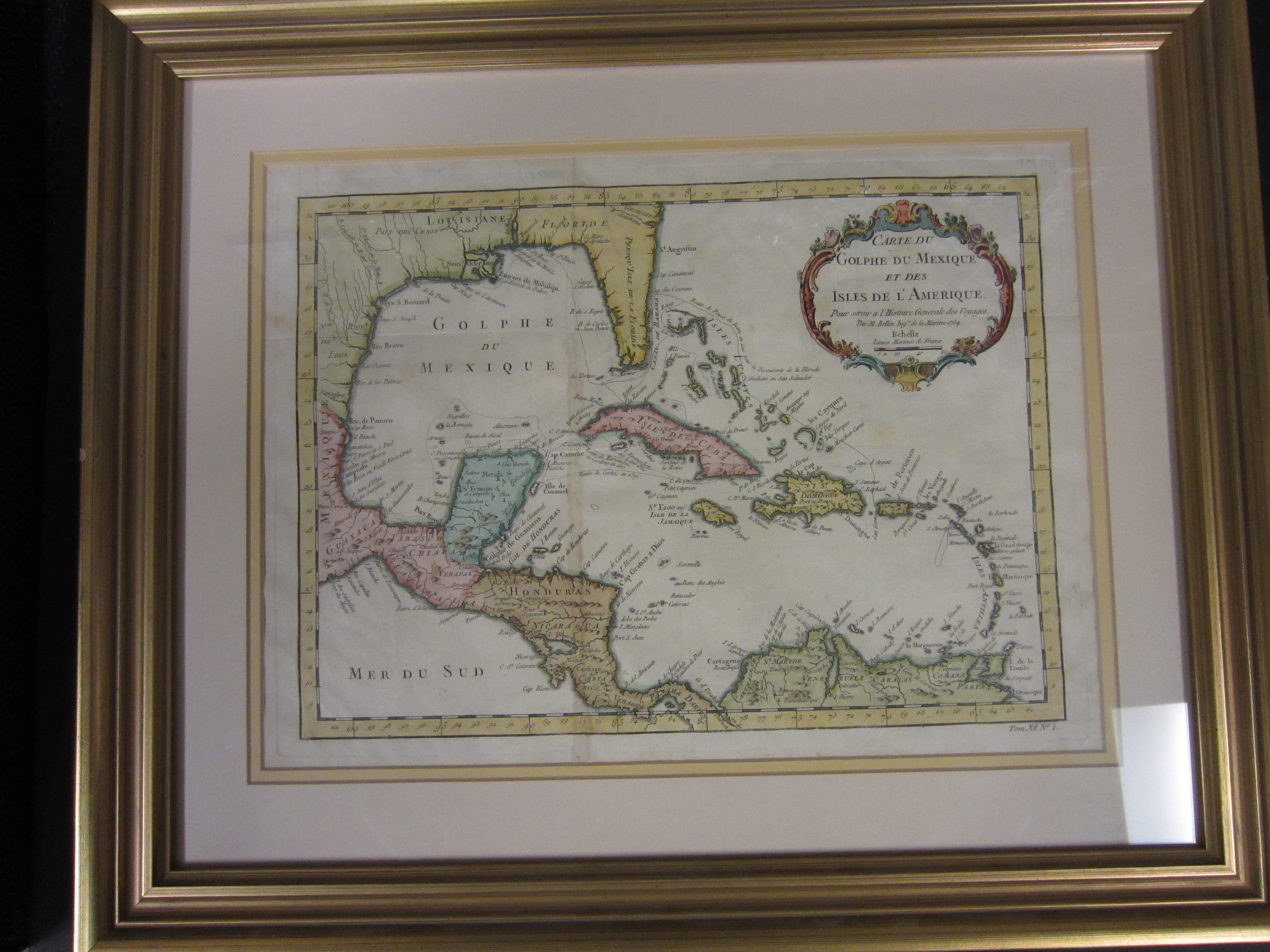
Map 5: Carta de Golphe du Mexique et des Isles de l'Amerique, 1754
Item — Map: 5, Item: 5
Collection number: Map 5
Scope and Contents
1 map ; color ; 36.25 x 26.25 cm Publisher : Bellin, Jacques Nicolas, 1703-1772 Technique: Copper Plate engraving Features the islands of the Caribbean, including the coasts of the United States and Mexico bordering the United Staes and Mexico, Central America and the northrn coastline of South America. Published in l'Histoire Generals des Voyages in 1754
Dates
- Created: 1754
Creator
- From the Collection: Mitchell, S. Augustus (Samuel Augustus), 1792-1868 (Cartographer, Person)
- From the Collection: Stuart, Oliver J. (Cartographer, Person)
- From the Collection: Lewis, Samuel (Cartographer, Person)
- From the Collection: Bellin, Jacques Nicolas, 1703-1772 (Cartographer, Person)
- From the Collection: Cram, George Franklin, 1841-1928 (Cartographer, Person)
- From the Collection: Jeffreys, Thomas, -1771 (Cartographer, Person)
- From the Collection: Ruscell, Girolamo, -approximately 1565 (Cartographer, Person)
- From the Collection: Sanuto, Gulio, 1520-1576 (Cartographer, Person)
- From the Collection: Sanuto, Livio, 1520-1576 (Cartographer, Person)
Conditions Governing Access
This collection is open for research.
Extent
From the Collection: 13.00 items
Language
From the Collection: English
Repository Details
Part of the Valdosta State University Archives and Special Collections Repository
Contact:
Valdosta State University Archives, Odum Library
1500 N. Patterson St.
Valdosta GA 30601 United States
7063728116
229-259-5055 (Fax)
archives@valdosta.edu
Valdosta State University Archives, Odum Library
1500 N. Patterson St.
Valdosta GA 30601 United States
7063728116
229-259-5055 (Fax)
archives@valdosta.edu