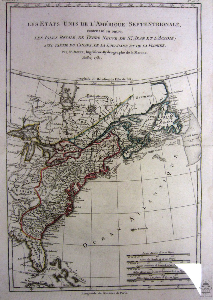
Les Etats Unis de L'Amérique Septentrionale (The United State of Noth America)
Digital Image
Collection number: AFTB69
Physical Description Note
Map of US showing east coast including Canada. Copper plate. Non contemporary color. No 826 on plate. 14" x 9 1/2". Cartographer: Bonne. In 1773, Rigobert Bonne (1727-1795) was appointed Royal Cartographer to France in the office of the Hydrographer at the Depot de la Marine. His attention to detail and accuracy along with his practical aesthetics were a departure from the decorative and artistic cartography of the 17thand early 18thcentury and made him one of the most important map makers of the modern era.
Publisher Note
Publisher: Valdosta State University Archives and Special Collections
Contributor Note
Contributor: Andrew and Kathy Tatler-Burgess
Repository Details
Part of the Valdosta State University Archives and Special Collections Repository
Contact:
Valdosta State University Archives, Odum Library
1500 N. Patterson St.
Valdosta GA 30601 United States
7063728116
229-259-5055 (Fax)
archives@valdosta.edu
Valdosta State University Archives, Odum Library
1500 N. Patterson St.
Valdosta GA 30601 United States
7063728116
229-259-5055 (Fax)
archives@valdosta.edu