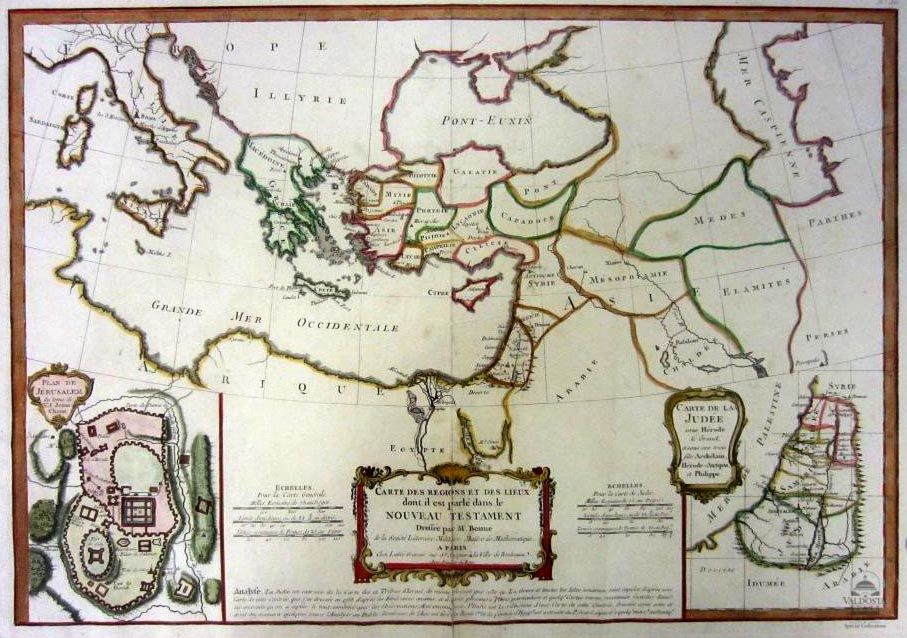
Cartes des Regions et Des Lieux dont il parlé dans le Nouveau Testament ( Maps Of Places and Regions which he spoke in the New Testament)
Physical Description Note
Copperplate non-contemporary hand-colored map of the Holy Land at the time of Jesus Christ. Lower left quandrant contains a map of Jerusalem at the Time of Jesus Christ. Title in decorative cartouche. Lower right quandrant contains a map of Judea under King Herod.18 x 13. Framed. Cartography by R. Bonne In 1773, Rigobert Bonne (1727-1795) was appointed Royal Cartographer to France in the office of the Hydrographer at the Depot de la Marine. His attention to detail and accuracy along with his practical aesthetics were a departure from the decorative and artistic cartography of the 17th and early 18th century and made him one of the most important map makers of the modern era.
Publisher Note
Publisher: Valdosta State University Archives and Specials
Contributor Note
Contributor: Andrew and Kathy Tatler-Burgess
Repository Details
Part of the Valdosta State University Archives and Special Collections Repository
Valdosta State University Archives, Odum Library
1500 N. Patterson St.
Valdosta GA 30601 United States
7063728116
229-259-5055 (Fax)
archives@valdosta.edu